New data set: Global Multi-resolution Terrain Elevation Data 2010

USGS has published a new nice data set called the “Global Multi-resolution Terrain Elevation Data 2010” (GMTED2010). It is offered at three different resolutions (approximately 1,000, 500, and 250 meters).

Example (MEA = mean dataset) Trento – Garda Lake – Verona area (Northern Italy):

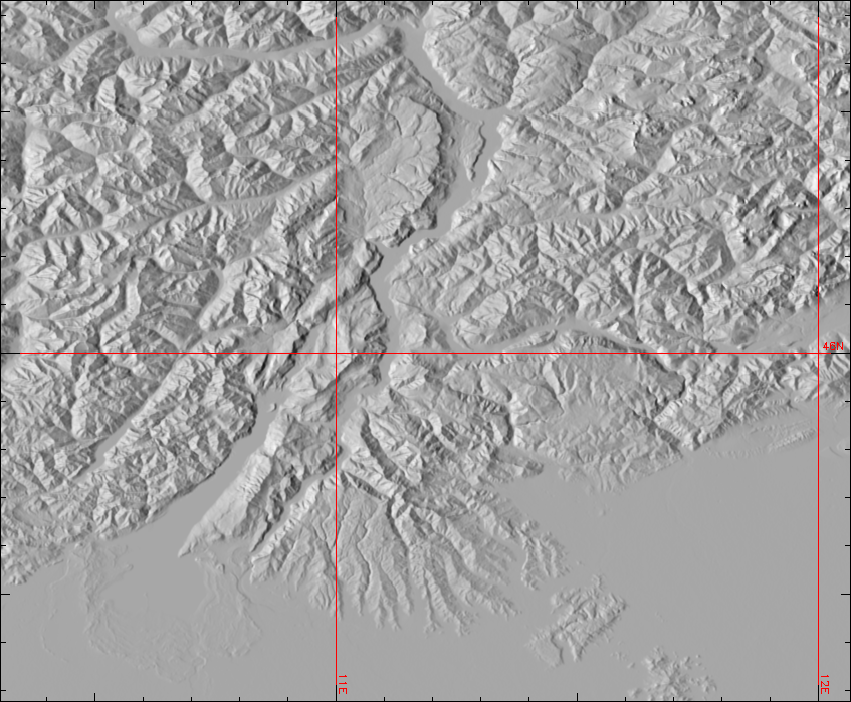
The 250m product looks quite smooth -a nice new DEM product…

Data download: http://eros.usgs.gov/#/Find_Data/Products_and_Data_Available/GMTED2010

GRASS GIS processing steps: see here

This entry was posted in Blog, DEM, elevation on by .

About neteler

Markus Neteler , a founding-member of the FOSSGIS.de (D-A-CH), GFOSS.it (Italy), and the Open Source Geospatial Foundation (OSGeo), was head of the GIS and Remote Sensing Unit at the Research and Innovation Centre of the Fondazione Edmund Mach, Trento, Italy from 2008-2016. He then co-founded the mundialis company (Bonn, Germany), a startup specialized in open source development and massive data processing. He is author of several books and chapters on GRASS and various papers on GIS applications. Being passionate about Open Source GIS, he became a GRASS GIS user in 1993 and a developer in 1997, coordinating its development since then.