GRASS GIS, commonly referred to as GRASS (Geographic Resources Analysis Support System), is the free Geographic Information System (GIS) software with the longest record of development as FOSS4G community project. The increasing demand for a robust and modern analytical free GIS led to the start of GRASS GIS 7 development in April 2008. Since GRASS 6 more than 10,000 changes have been implemented with a series of new modules for vector network analysis, image processing, voxel analysis, time series management and improved graphical user interface. The core system offers a new Python API and large file support for massive data analysis. Many modules have been undergone major optimization also in terms of speed. The presentation will highlight the advantages for users to migrate to the upcoming GRASS GIS 7 release.
We are pleased to announce that the 50th ICA-OSGeo Lab has been established at the GIS and Remote Sensing Unit (Piattaforma GIS & Remote Sensing, PGIS), Research and Innovation Centre (CRI), Fondazione Edmund Mach (FEM), Italy. CRI is a multifaceted research organization established in 2008 under the umbrella of FEM, a private research foundation funded by the government of Autonomous Province of Trento. CRI focuses on studies and innovations in the fields of agriculture, nutrition, and environment, with the aim to generate new sharing knowledge and to contribute to economic growth, social development and the overall improvement of quality of life.
The mission of the PGIS unit is to develop and provide multi-scale approaches for the description of 2-, 3- and 4-dimensional biological systems and processes. Core activities of the unit include acquisition, processing and validation of geo-physical, ecological and spatial datasets collected within various research projects and monitoring activities, along with advanced scientific analysis and data management. These studies involve multi-decadal change analysis of various ecological and physical parameters from continental to landscape level using satellite imagery and other climatic layers. The lab focuses on the geostatistical analysis of such information layers, the creation and processing of indicators, and the production of ecological, landscape genetics, eco-epidemiological and physiological models. The team pursues actively the development of innovative methods and their implementation in a GIS framework including the time series analysis of proximal and remote sensing data.
The GIS and Remote Sensing Unit (PGIS) members strongly support the peer reviewed approach of Free and Open Source software development which is perfectly in line with academic research. PGIS contributes extensively to the open source software development in geospatial (main contributors to GRASS GIS), often collaborating with various other developers and researchers around the globe. In the new ICA-OSGeo lab at FEM international PhD students, university students and trainees are present.
PGIS is focused on knowledge dissemination of open source tools through a series of courses designed for specific user requirement (schools, universities, research institutes), blogs, workshops and conferences. Their recent publication in Trends in Ecology and Evolution underlines the need on using Free and Open Source Software (FOSS) for completely open science. Dr. Markus Neteler, who is leading the group since its formation, has two decades of experience in developing and promoting open source GIS software. Being founding member of the Open Source Geospatial Foundation (OSGeo.org, USA), he served on its board of directors from 2006-2011. Luca Delucchi, focal point and responsible person for the new ICA-OSGeo Lab is member of the board of directors of the Associazione Italiana per l’Informazione Geografica Libera (GFOSS.it, the Italian Local Chapter of OSGeo). He contributes to several Free and Open Source software and open data projects as developer and trainer.
Open Source Geospatial Foundation (OSGeo) is a not-for-profit organisation founded in 2006 whose mission is to support and promote the collaborative development of open source geospatial technologies and data.
International Cartographic Association (ICA) is the world authoritative body for cartography and GIScience. See also the new ICA-OSGeo Labs website.
https://neteler.org/wp-content/uploads/2024/01/wg_neteler_logo.png00Markushttps://neteler.org/wp-content/uploads/2024/01/wg_neteler_logo.pngMarkus2013-10-23 16:06:302023-11-20 10:17:3950th ICA-OSGeo Lab established at Fondazione Edmund Mach (FEM)
(reposting from here, Note to English speakers below)
Sie forschen, Sie entwickeln, Sie beschäftigen sich mit Open-Source-Geo-Software oder freien Geodaten? Sie haben neue Ideen in diesem Themenbereich oder sind bereits dabei, freie Software und freie Geodaten zu nutzen oder zu entwickeln? Dann sind Sie auf unserer Konferenz – der FOSSGIS-Konferenz 2014 – genau richtig.
WIR BIETEN: Eine Plattform für Ihre Idee, Ihr Projekt, Ihren Erfahrungsbericht auf der größten deutschsprachigen Anwenderkonferenz für freie Geoinformationssysteme und freie Geodaten. Im Jahr 2014 findet die FOSSGIS vom 19. bis 21. März auf dem Gelände der Beuth Hochschule für Technik in Berlin statt. Wir rechnen mit über 400 Teilnehmern. An der Konferenz 2013 in Rapperswil (Schweiz) nahmen über ca. 350 Besucher teil.
WIR SUCHEN: Ihre Idee. Ihr Projekt. Ihren Erfahrungsbericht. Ihr Thema. Genauer gesagt, suchen wir Vorträge für Einsteiger und Fortgeschrittene, um spannende Themen zu behandeln, Diskussionen zu entwickeln, praxisorientierte Workshops* runden unser Programm ab. Vorträge zum Thema freie Geodaten, zum Beispiel OpenStreetMap, Open Data sind ebenso möglich wie Beiträge zu beispielsweise Softwarelösungen aus dem Bereich WebGIS, Desktop GIS, Geodatenbanken oder Location-Based-Services. Bewerben Sie sich jetzt mit einem Vortrag, Lightning Talk oder Workshop* beim Call for Papers.
ABSTRACT: Die Einreichung eines Abstracts für die FOSSGIS 2014 ist ab sofort bis zum 15. November 2013 über unsere Konferenzsoftware Pentabarf möglich. Beitrags-Einreichungen ohne Abstract müssen leider abgelehnt werden, da sich das Programm-Komitee anhand des Abstracts ein Bild von Inhalt und Relevanz des Beitrags macht. Der Abstract sollte ca. 1500 Zeichen umfassen. Ob die Einreichung angenommen wurde, wird im Dezember 2013 bekanntgegeben. Es besteht die Möglichkeit einen Lightning Talk einzureichen. Ein Lightning Talk ist eine kurze, knackige Auseinandersetzung mit einem Thema, welches in 5 Minuten, gern humorvoll, Anregung zur Diskussion bietet. Weiterhin können Poster eingereicht werden.
*Workshops: Bitte berücksichtigen Sie bei der Planung, dass für die Workshops nur 90 Minuten vorgesehen sind und die Teilnehmer ein Mix aus Theorie und vor allem Praxis erwarten. Die Beschreibung des Workshops soll erreichbare Lernziele und die notwendigen Vorkenntnisse der Teilnehmer enthalten. Ein Workshop findet ab einer Teilnehmerzahl von 5 statt.
WER WIR SIND: Veranstaltet wird die Konferenz vom FOSSGIS e.V., von der OSGeo Foundation und der Beuth Hochschule für Technik Berlin.
Unsere Konferenz lebt von Ihren Beiträgen und Ihrem Besuch. Werden Sie Teil der Konferenz – wir freuen uns auf Sie!
Noch Fragen? Wir haben versucht, in unseren FAQs alle wichtigen Fragen zu beantworten. Falls weitere Fragen bestehen, zögern Sie nicht uns eine E-Mail zu schreiben.
Note to English speakers
The FOSSGIS-conference is the largest German-language conference for Free and Open Source Software for GIS and Free Geodata hosting about 400 participants.
Today, the Conference Committee announced the “Call for papers” for 2014. Because the conference-language is German, the CfP is either.
The program committee will, however, also consider applications for talks or workshops held in English if they are deeemed to add to the quality of the conference. So if you don’t speak German, but are a FOSS/Open Data celebrity, or have a story that only you can tell, please do submit your talk. We are unlikely to be able to provide interpreters, but we’ll make sure you don’t get lost in Berlin. Please be aware that you can submit paper until November, 15. 2013. You can submit your abstract using our Conference Software.
We are looking forward to see you in Berlin March 19-21, 2014!
https://neteler.org/wp-content/uploads/2024/01/wg_neteler_logo.png00Markushttps://neteler.org/wp-content/uploads/2024/01/wg_neteler_logo.pngMarkus2013-09-16 23:26:352024-02-12 18:58:16Call for Papers FOSSGIS 2014 in Berlin
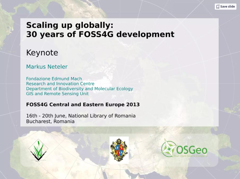
https://neteler.org/wp-content/uploads/2024/01/wg_neteler_logo.png00Markushttps://neteler.org/wp-content/uploads/2024/01/wg_neteler_logo.pngMarkus2013-06-17 17:12:552024-01-22 22:30:21Scaling up globally: 30 years of FOSS4G development
You will meet well known Keynote Speakers (random order): Jeff McKenna, Paul C. Smits, Jáchym Čepický, Schuyler Erle, Maria Antonia Brovelli, Dirk Frigne, Markus Neteler, Alyssa Wright, and Radu Puchiu.
Check the long list of Practical Workshops and Oral Presentations at: https://2013.foss4g-cee.org/program/schedule Check out for the additional Code Sprint, the Open GeoData Hackathon, and the Open Data Side Event.
We are pleased to announce the Call for Abstract for the FOSS4G (Free and Open Source Software for Geospatial) 2010 conference, being held September 6-9, in beautiful Barcelona, Spain.
Held annually, FOSS4G is the premier conference for the open source geospatial community, providing a full-immersion experience in established and leading edge geospatial technologies for developers, users, and people new to open source geospatial.
FOSS4G 2010 presentations are 25 minute talks, with 5 minute question and answer sessions at the end. Presentations cover the use or development of open source geospatial software. Anyone can can submit a presentation proposal and take part in the conference as a presenter.
Some topics of interest for this year are:
Case Studies: Relate the experiences of you and your organization using open source geospatial. Where do things work well? Poorly? What problems did you solve, and at what cost? What do you recommend for others? Why?
Benchmarks: Comparisons between pieces of geospatial software. How do features compare? Speed? Ease of use? What do you recommend for others?
Visualization: Tell about your tips and tricks for effective visualization. How do you present information in a compelling way? 3D? Cartographic tricks? Labelling and naming ideas? Graphs and hybrid map/data combinations?
Development: What are the new developments in your open source geospatial software product? How does it work, how do people use it, what are the technical issues you are running into?
Hacks and Mashing: Have you put together something novel or cool this year? What did you stick together, how did it work, show us your gizmo!
Collaboration: What techniques are you using to improve collaboration between organizations and between individuals. Public geodata, collaborative data collection, data sharing, open standards, de facto standards, and more!
If you have an open source geospatial story to tell, we want to hear it!
The deadline for abstract submissions is April 1, 2010. Submit early, submit often!
Academic Track
The FOSS4G 2010 academic track aims to bringing together researchers, developers, users and practitioners carrying out research and development in the geospatial and the free and open source fields and willing to share original and recent research developments and experiences.
The academic track will act as an inventory of current research topics, but the major goal is to promote cooperative research between OSGeo developers and the academia. The academic track is the right forum to highlight the most important research challenges and trends in the domain, and let them became the basis for an informal OSGeo research agenda. It will foster interdisciplinary discussions in all aspects of the geospatial and free and open source domains. It will be organized in a way to promote networking between the participants, to initiate and favour discussions regarding cutting-edge technologies in the field, to exchange research ideas and to promote international collaboration.
Submission guidelines
All submissions to the academic track must be original unpublished work written in English. Papers should not exceed the 6000 words limit. Formatting guidelines will be available soon. Submitted papers will be thoroughly reviewed by three members of the international scientific committee and refereed for their quality, originality and relevance.
Submission deadline (full paper for the academic track) – May, 31th, 2010
Upcoming milestones
15 Jan 2010, Call for Workshops/Tutorials opens
30 Jan 2010, Call for Workshops/Tutorials closes
1 Feb 2010, Call for Abstracts opens
16 Feb 2010, Notification of acceptance for workshops/tutorials
22 Feb 2010, Registration for workshop and tutorials opens
1 Apr 2010, Abstract submission deadline
1 May 2010, Presenters notified of acceptance for talks
https://neteler.org/wp-content/uploads/2024/01/wg_neteler_logo.png00Markushttps://neteler.org/wp-content/uploads/2024/01/wg_neteler_logo.pngMarkus2008-03-20 17:53:002023-10-22 18:44:41Feature Comparison of Open Source Desktop GIS Software
Tyler Mitchell, Executive Director of OSGeo reports:
The OSGeo Journal team is pleased to announce the availability of Volume 3. This volume of the Journal is dedicated to publishing the proceedings from the FOSS4G 2007 conference held in September. 14 different papers, representing over 35 authors were contributed. They cover a wide range of Integration, Development, Topical Interest and Case Study material.
Our next volume will be delayed until the first quarter of 2008. If you are interested in submitting articles, please add your name to: https://wiki.osgeo.org/wiki/Journal_Volume_4
Enjoy the articles and best wishes for the New Year!